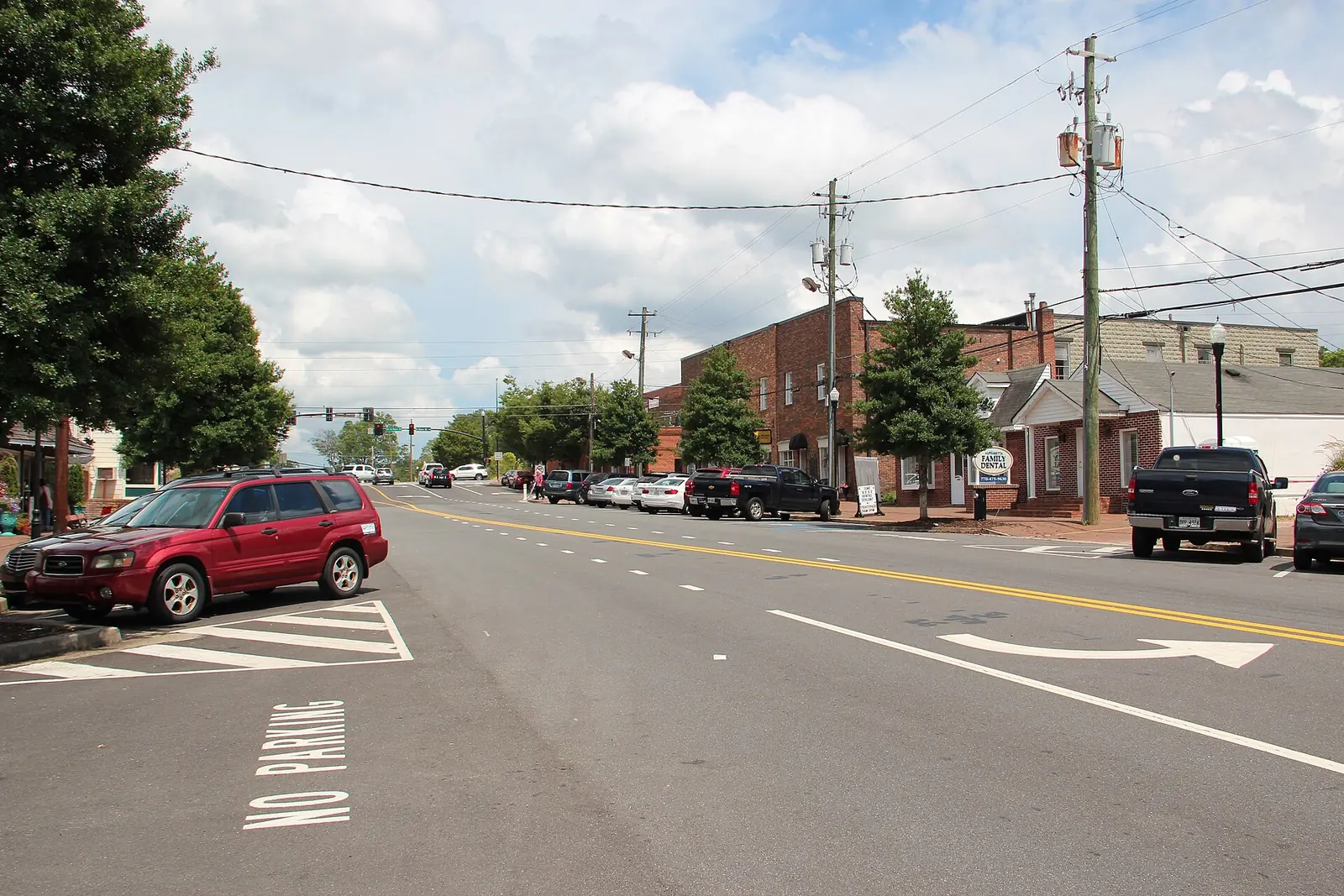
The older neighborhoods north of downtown Alpharetta span ZIP codes 30004 and 30009. Most addresses are zoned for Alpharetta High, district map data shows.
Last checked Oct. 4, 2026. Sources: the City of Alpharetta’s Horizon 2045 Comprehensive Plan (PDF), Fulton County Schools address map data, the state’s 2025 School Grades data, Zillow Research, MARTA and OpenStreetMap.
North of downtown, the streets off Mayfield Road and Cumming Street hold some of Alpharetta’s oldest neighborhoods. The city’s comprehensive plan, adopted June 22, 2026, says homes there were “built largely in the 1960s” and are now seeing “higher levels of renovation and expansion,” along with knock-down rebuilds.
What this means for you
- Zoned high school: mostly Alpharetta High (57% of addresses); the rest Milton High or Cambridge High. Check your address with the district’s Find Your School lookup.
- Home value: $757,088 in ZIP 30004 and $759,646 in ZIP 30009 in August 2026, according to the Zillow Home Value Index.
- Nearest Georgia 400 exits: exit 11, Windward Parkway, and exit 10, Old Milton Parkway.
Part of our Alpharetta neighborhoods guide.
Where it is
The city’s Horizon 2045 Comprehensive Plan names this part of town by its roads. It found that knock-down rebuilds from 2021 to 2025 were most common “in older neighborhoods close to Downtown, including areas along Mayfield Road, Cumming Street, Milton Avenue, and within Alpha Park.”
On this page the area runs north from the downtown boundary to about Windward Parkway, and from Mid Broadwell Road east across Mayfield Road, North Main Street and Cumming Street to Georgia 400. OpenStreetMap marks Sterling Heights, Lake Union Hill, Wedgewood Forest and Surrey Place as named neighborhoods here.
The district’s map data puts 52% of the area’s addresses in ZIP code 30004 and 48% in 30009. It is all inside Alpharetta city limits, so the city provides police, fire and trash service. Manning Oaks Elementary, at 405 Cumming St., is in the area.
Schools
Of the addresses in this area in the district’s map data on Oct. 4, this is how they split. Scores are 2025 College and Career Ready Performance Index (CCRPI) figures from the state’s School Grades report.
| Level | School | Share of addresses | 2025 CCRPI |
|---|---|---|---|
| High | Alpharetta High (report card) | 57% | 93.0 |
| High | Milton High (report card) | 27% | 92.8 |
| High | Cambridge High (report card) | 17% | 92.7 |
| Middle | Hopewell Middle (report card) | 73% | 96.1 |
| Middle | Northwestern Middle (report card) | 27% | 87.0 |
| Elementary | Manning Oaks Elementary (report card) | 57% | 84.5 |
| Elementary | Alpharetta Elementary (report card) | 42% | 90.4 |
| Elementary | Crabapple Crossing Elementary (report card) | 2% | 93.3 |
Two streets apart can mean two different high schools here, so check the exact address. Every school, with its zone map: Alpharetta public schools.
Home values
According to the Zillow Home Value Index, a modeled typical value for the middle third of homes and not a sale price:
| ZIP code | August 2026 | August 2025 | Change |
|---|---|---|---|
| 30004 (Zillow files it under Milton) | $757,088 | $751,784 | +0.71% |
| 30009 | $759,646 | $742,804 | +2.27% |
| Alpharetta, citywide | $716,629 | $718,009 | -0.19% |
Both ZIP codes reach well beyond this area. More in our home prices guide.
Parks and trails
From the city’s parks and facilities pages:
- Mid-Broadwell City Park, 1480 Mid Broadwell Road, at the west edge: 4 acres with a walking trail and a playground with water play stations.
- Alpharetta Arts Center, 238 Canton St., and North Main Street Park, at Milton Avenue, just south in downtown.
- Cogburn Road Park, 12825 Cogburn Road, just north.
More in our parks guide.
Getting around
- Georgia 400: exit 11, Windward Parkway, and exit 10, Old Milton Parkway, by the exit numbers in OpenStreetMap.
- Downtown: about a mile from the middle of the area to City Hall by road.
- Airport: about 36 miles to Hartsfield-Jackson Atlanta International Airport. Both are distances measured on the OpenStreetMap road network with the OSRM routing engine, not drive times.
- MARTA: route 185 stops along North Main Street, and route 140 stops on Windward Parkway and Deerfield Parkway, according to MARTA’s schedule data. Both run to North Springs Station.
More in our getting around guide.
Groceries and everyday stores
From OpenStreetMap, inside the area:
- Walgreens, 5510 Windward Parkway
Publix at 11800 Haynes Bridge Road downtown and Kroger at 12870 Highway 9 North are just outside the area.
How we drew this area
The area’s name and character come from the city’s comprehensive plan; its edges here follow main roads and the downtown boundary. School shares come from every address point inside those edges in the Fulton County Schools map service, checked Oct. 4, 2026. Neighborhood names and store locations are © OpenStreetMap contributors.
Frequently asked questions
What high school serves the Mayfield Road and Cumming Street area of Alpharetta?
Most addresses, 57% in the district’s map data, are zoned for Alpharetta High. The rest are zoned for Milton High (27%) or Cambridge High (17%). Check one address with the Fulton County Schools zone lookup.
How old are the homes along Mayfield Road in Alpharetta?
The city’s Horizon 2045 Comprehensive Plan says neighborhoods along Mayfield Road and Cumming Street contain some of Alpharetta’s oldest housing, built largely in the 1960s, and have seen high levels of renovation and knock-down rebuilds.
What ZIP code is Mayfield Road in Alpharetta?
The area is split between ZIP codes 30004 and 30009. Zillow put the typical home value at $757,088 in 30004 and $759,646 in 30009 in August 2026.
Have your say